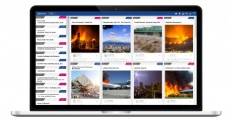
Spectee Pro
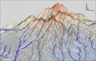
3 Dimensional Integrated Water Cycle Simulation Model (GETFLOWS)
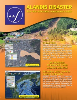
ALANDIS DISASTER
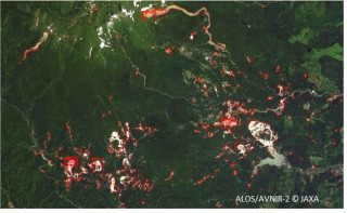
Automatic landslide area detection Service by using Satellite Image
Building resilience in cities, regions, and businesses
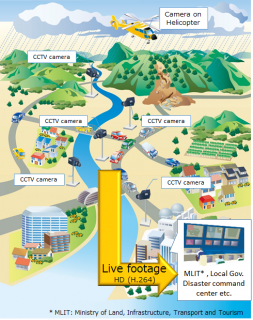
CCTV-Camera Realtime Monitoring and Sharing System
Cloud-based slope and road structure measurement and monitoring service using WEB-GIS
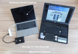
Data Management & analysis Technology using tablet
Disaster risk assessment using Airborne Laser Scanning
Earthquake Disaster Mitigation
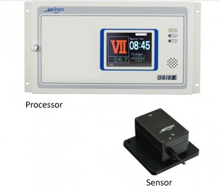
MEISEI Earthquake Observation Systems
Ensuring Safety and Security
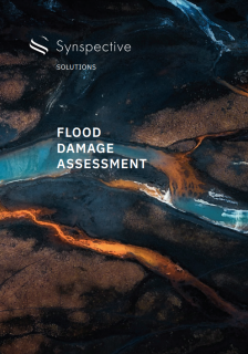
Flood Damage Assessment (FDA)
Flood Information Service by using Satellite Image
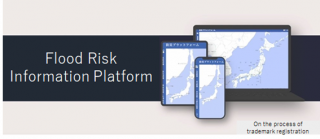
Flood Risk Information Platform
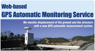
GPS-based Automatic Measuring and Monitoring System ”shamen-net”
LDM (Land Displacement Monitoring)
Land Subsidence and Deformation Monitoring Service for Social Infrastructure
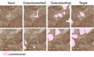
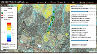
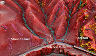
Landslide terrain interpretation technology by use of AI
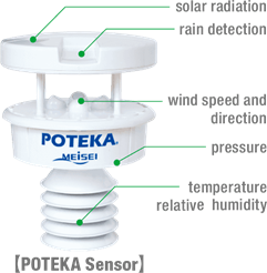
POTEKA Weather Observation and Information Service

.png)
.png)

.jpg)
.jpg)