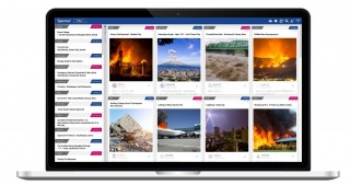
Spectee Pro
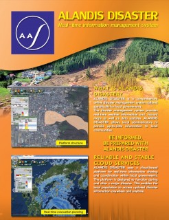
ALANDIS DISASTER
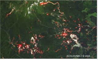
Automatic landslide area detection Service by using Satellite Image
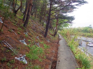
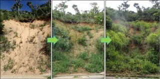
BSC (Biological Soil Crust)Method
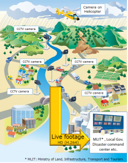
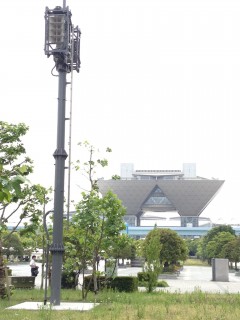
CCTV-Camera Realtime Monitoring and Sharing System
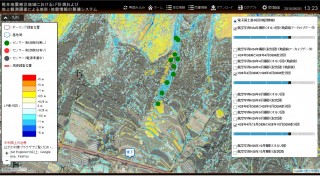
Cloud-based slope and road structure measurement and monitoring service using WEB-GIS
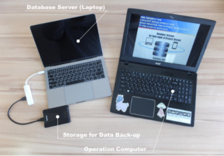
Data Management & analysis Technology using tablet
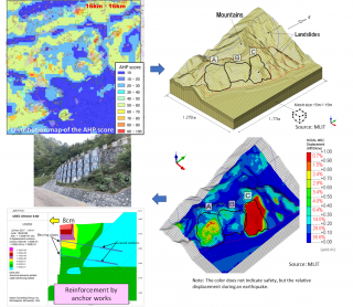
Disaster risk assessment using Airborne Laser Scanning
Ensuring Safety and Security
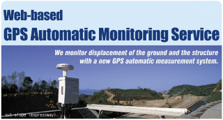
GPS-based Automatic Measuring and Monitoring System ”shamen-net”
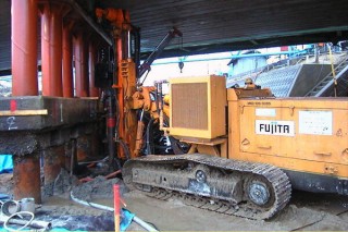
High Capacity Micro Pile
Horn Array speaker system
Implant™ Landslide Prevention
LDM (Land Displacement Monitoring)
Land Subsidence and Deformation Monitoring Service for Social Infrastructure
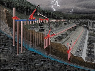
Landslide / Slope Failure Prevention Method
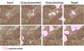
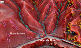
Landslide terrain interpretation technology by use of AI
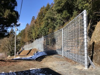
LOOP FENCE
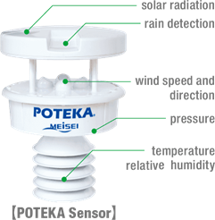
POTEKA Weather Observation and Information Service
Prediction technology for slope behavior during earthquakes using numerical analysis


.jpg)