Utilization of BIM
Utilization of satellite SAR data -Estimation of subsurface conditions based on ground surface deformation obtained by satellite SAR-
V-JET Technology - Innovative Jet Grouting
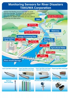
Water Monitoring Sensors for Preventing
Water Vision - High-resolution Flood Forecast solution
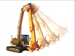
WILL Mixing Method